British Archaeology
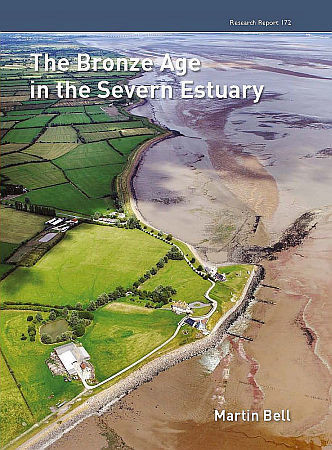
The Bronze Age in the Severn Estuary Cover
Format: Hardback
Pages: 416
ISBN: 9781902771946
Pub Date: 31 Oct 2013
Imprint: Council for British Archaeology
Description:
Archaeological fieldwork in the inter-tidal zone of the Severn Estuary over the past twenty years has revealed a rich landscape of prehistoric settlement. This latest volume by Professor Martin Bell presents the evidence for the Bronze Age, focusing on sites at Redwick and Peterstone in the Gwent Levels.At Redwick, a settlement of four rectangular buildings, defined by well-preserved timber posts dating to the middle Bronze Age (1600–940 cal BC), is surrounded by footprint-tracks of animals and humans.
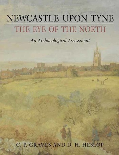
Newcastle upon Tyne, the Eye of the North Cover
Format: Hardback
Pages: 304
ISBN: 9781842178140
Pub Date: 29 Oct 2013
Imprint: Oxbow Books
Series: Urban Archaeological Assessment
Description:
Newcastle upon Tyne is one of England’s great cities. Many think of it mainly as a product of the Industrial Revolution when abundant resources of coal, iron ore and water came together to create a Victorian industrial powerhouse. In fact, Newcastle’s long and proud history began in Roman times when Hadrian’s Wall marked the northernmost point of the Roman Empire.
RRP: £45.00
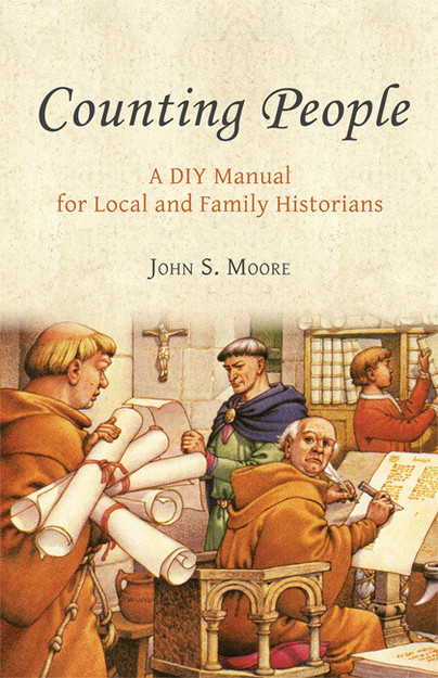
Counting People Cover
Format: Paperback
Pages: 140
ISBN: 9781842174807
Pub Date: 30 Sep 2013
Imprint: Oxbow Books
Description:
Local and family historians are often afraid to use numerical data (Statistics) in their research and writing. Yet numbers are an essential part of much historical work, obviously in population history but also in local studies of agriculture, industry and social history. Counting People shows how amateur historians can use computers with appropriate programs to provide numerical illustrations of various historical topics as well as easing their researches.
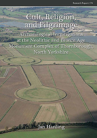
Cult, Religion, and Pilgrimage Cover
Format: Paperback
Pages: 260
ISBN: 9781902771977
Pub Date: 30 Sep 2013
Imprint: Council for British Archaeology
Description:
The three large henges found adjacent to the village of Thornborough, near Ripon in North Yorkshire, lie at the heart of one of the most important Neolithic landscapes in the British Isles While the henges were first recorded in the eighteenth century, recent fieldwork has shown them to be part of a much larger ‘sacred landscape’ of the later Neolithic and Bronze Age which includes barrows, pit alignments and a cursus. Surrounding fields have yielded a rich collection of prehistoric flint artefacts. While the henges have all been damaged, either by agriculture or quarrying, they remain major upstanding features in the modern landscape.
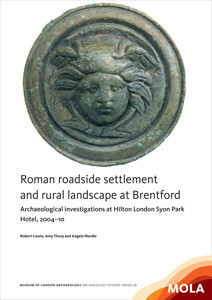
Roman roadside settlement and rural landscape at Brentford Cover
Format: Paperback
Pages: 110
ISBN: 9781907586194
Pub Date: 30 Sep 2013
Imprint: MOLA (Museum of London Archaeology)
Series: MoLAS Archaeology Studies Series
Description:
Excavations in Syon Park, Brentford, have made a substantial contribution to our knowledge of this Roman rural settlement on the London–Silchester road, by a ford across the Thames. The site yielded a well-dated sequence – from the mid 1st to early 5th century AD – including occupation deposits and two 2nd-century timber buildings destroyed by fire, as well as details of the main road and adjacent field system. These and a large assemblage of finds, including a surgical instrument and a roundel depicting the Medusa, provide a rare glimpse of life in the countryside in the hinterland of Londinium.

Prehistoric Communities at Colne Fen, Earith

Format: Hardback
Pages: 288
ISBN: 9780954482497
Pub Date: 02 Sep 2013
Imprint: Cambridge Archaeological Unit
Description:
Charting a decade of intensive fieldwork along a 2km stretch of the Colne Fen, Earith fen-edge, the scope of these books is formidable and together they include the work of 65 contributing specialists (with a forward by Ian Hodder). The fieldwork involved innovative methodologies, and groundbreaking scientific and micro-sampling studies are presented within the volumes. Portions of text are, moreover, avowedly experimental (e.
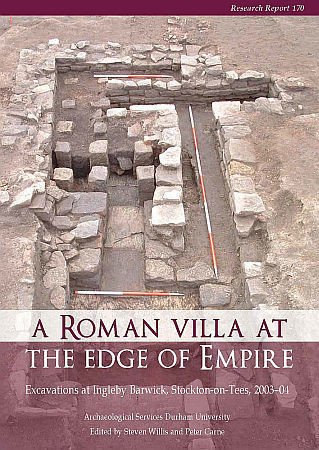
A Roman Villa at the Edge of Empire Cover
Format: Paperback
Pages: 244
ISBN: 9781902771908
Pub Date: 31 Aug 2013
Imprint: Council for British Archaeology
Description:
Located on the south side of the River Tees, in north-east England, the Roman villa at Ingleby Barwick is one of the most northerly in the Roman Empire. Discovered originally through aerial photography and an extensive programme of evaluation, the site was excavated in 2003-04 in advance of housing development. Unusually for the region, the site demonstrated evidence for occupation from the later prehistoric period through to the Anglo-Saxon.
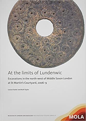
At the limits of Lundenwic Cover
Format: Paperback
Pages: 90
ISBN: 9781907586187
Pub Date: 31 Aug 2013
Imprint: MOLA (Museum of London Archaeology)
Series: MoLAS Archaeology Studies Series
Description:
This thought-provoking volume presents the results of the archaeological investigation of a large site in Lundenwic. A fragmentary sequence nevertheless includes possible Early Saxon activity, 7th- and 8th-century settlement features including a cookshop, a workshop for non-ferrous metalworking and debris from a smithy, and the latest radiocarbon-dated inhumation in Lundenwic (cal AD 720–950). These excavations have made important contributions to our understanding of Lundenwic, which has been enhanced by the unprecedented level of organic preservation at the site.
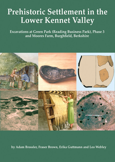
Prehistoric Settlement in the Lower Kennet Valley Cover
Format: Paperback
Pages: 150
ISBN: 9781905905294
Pub Date: 31 Jul 2013
Imprint: Oxford University School of Archaeology
Series: Thames Valley Landscapes Monograph
Description:
This volume presents the results of two excavations on the gravel terraces of the Lower Kennet Valley, at Green Park (Reading Business Park) Phase 3 and Moores Farm, Burghfield, Berkshire.The Green Park excavations uncovered a field system and occupation features dating to the middle to late Bronze Age. Five waterholes or wells were distributed across the field system, the waterlogged fills of which preserved wooden revetment structures and valuable environmental evidence.
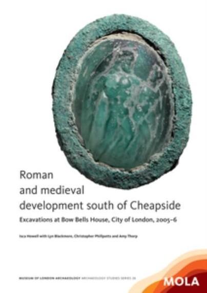
Roman and medieval development south of Cheapside Cover
Format: Paperback
Pages: 120
ISBN: 9781907586170
Pub Date: 30 Jun 2013
Imprint: MOLA (Museum of London Archaeology)
Series: MoLAS Archaeology Studies Series
Description:
Excavations on the south side of Cheapside found evidence for Roman timber buildings and pits dating to the later 1st and 2nd centuries AD, and a masonry building constructed after c AD 125. The main west–east road through Londinium lay immediately north of the site. Evidence for later Roman occupation was limited by modern truncation.
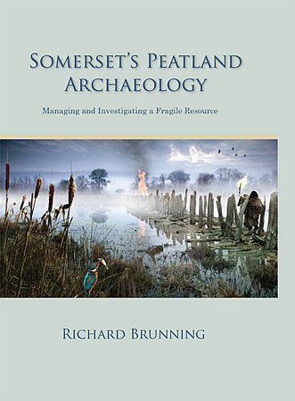
Somerset's Peatland Archaeology Cover
Format: Hardback
Pages: 352
ISBN: 9781842174883
Pub Date: 31 May 2013
Imprint: Oxbow Books
Illustrations: b/w & colour illus
Description:
The Somerset Levels and Moors are part of a series of coastal floodplains that fringe both sides of the Severn Estuary. These areas have similar Holocene environmental histories and contain a wealth of waterlogged archaeological landscapes and discrete monuments. The importance of Somerset's prehistoric wetland heritage is shown by the fact that twenty-five percent of all the prehistoric waterlogged sites thought still to exist in England are from the Somerset moors, the County Museum in Taunton Castle holds the largest collection of conserved prehistoric worked wood in the UK, possibly in the whole of Europe, the Sweet Track (the oldest known wooden trackway in the UK) and Glastonbury Lake Village have produced the most complete record of Neolithic and Iron Age material culture in the UK and Glastonbury Lake Village was the best preserved prehistoric settlement ever discovered in the UK.
RRP: £40.00
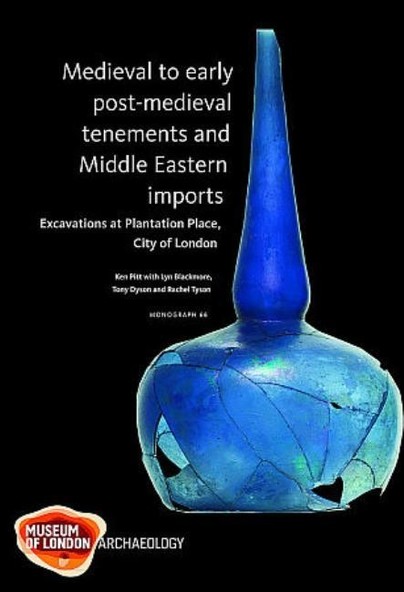
Medieval to early post-medieval tenements and Middle Eastern imports Cover
Format: Hardback
Pages: 140
ISBN: 9781907586163
Pub Date: 30 Apr 2013
Imprint: MOLA (Museum of London Archaeology)
Series: Monograph Series
Description:
Excavations at Plantation Place provided evidence for medieval and early post-medieval occupation of an entire block in the eastern part of the City of London near the Thames waterfront. Contemporary ground surfaces and buildings did not survive, but associated pits and wells have been related by documentary and cartographic research to identified tenements in this thriving area of shops, warehouses and merchants’ residences. Important assemblages from pits and wells include vessels used in refining gold, crucibles and moulds from bronze casting, and the largest assemblage of late medieval Islamic-style glass yet found in Britain, alongside Middle Eastern ceramics.
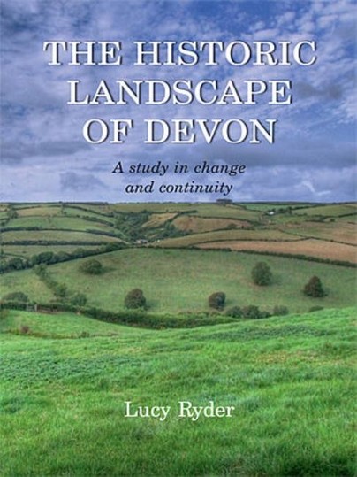
The Historic Landscape of Devon Cover
Format: Paperback
Pages: 256
ISBN: 9781905119387
Pub Date: 30 Apr 2013
Imprint: Windgather Press
Illustrations: col illus
Description:
This book discusses the 19th-century historic landscape of Devon though the creation, manipulation and querying of a Geographical Information Systems (GIS) database to examine physical evidence of change and development through field and settlement patterns. Making use of tithe surveys, the relationship between field and settlement morphologies and patterns of landholding is discussed for three case-study areas in Devon, developing the idea of landscape pays and the identification of regional differences in the study of the historic landscape.
RRP: £38.00
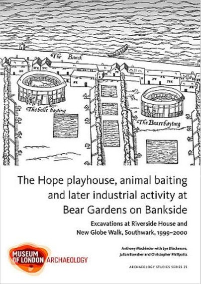
The Hope playhouse, animal baiting and later industrial activity at Bear Gardens on Bankside Cover
Format: Paperback
Pages: 94
ISBN: 9781907586200
Pub Date: 31 Mar 2013
Imprint: MOLA (Museum of London Archaeology)
Series: MoLAS Archaeology Studies Series
Description:
Southwark’s famous Bankside was long known as an entertainment area up to the 17th century. This volume provides evidence for the Barge, one of the medieval stewhouses (tavern/brothel) and the later Hope, a dual purpose building hosting animal baiting as well as play performances. The next phase in Bankside’s history was industrial and its glass and pottery products of the 17th and 18th centuries were much sought after.
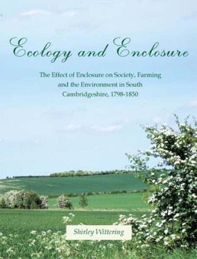
Ecology and Enclosure Cover
Format: Paperback
Pages: 192
ISBN: 9781905119448
Pub Date: 07 Feb 2013
Imprint: Windgather Press
Description:
South Cambridgeshire has some of the richest arable land in England and has been cultivated for millennia. By the turn of the nineteenth century industrialisation and massive population growth had resulted in an enormous increase in the demand for food, which in turn led to enclosure. But this desire to plough every available piece of land resulted in the destruction of many valuable and distinctive habitats that had existed for centuries.
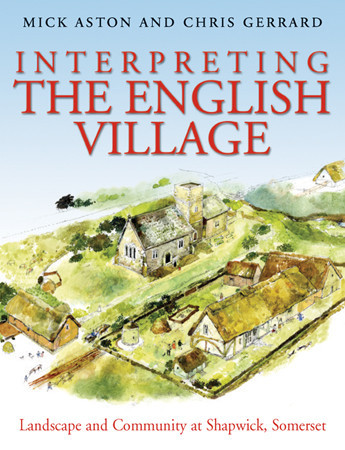
Interpreting the English Village Cover
Format: Paperback
Pages: 416
ISBN: 9781905119455
Pub Date: 07 Feb 2013
Imprint: Windgather Press
Illustrations: 233 illus
Description:
An original and approachable account of how archaeology can tell the story of the English village. Shapwick lies in the middle of Somerset, next to the important monastic centre of Glastonbury: the abbey owned the manor for 800 years from the 8th to the 16th century and its abbots and officials had a great influence on the lives of the peasants who lived there. It is possible that abbot Dunstan, one of the great reformers of tenth century monasticism directed the planning of the village.
RRP: £29.95